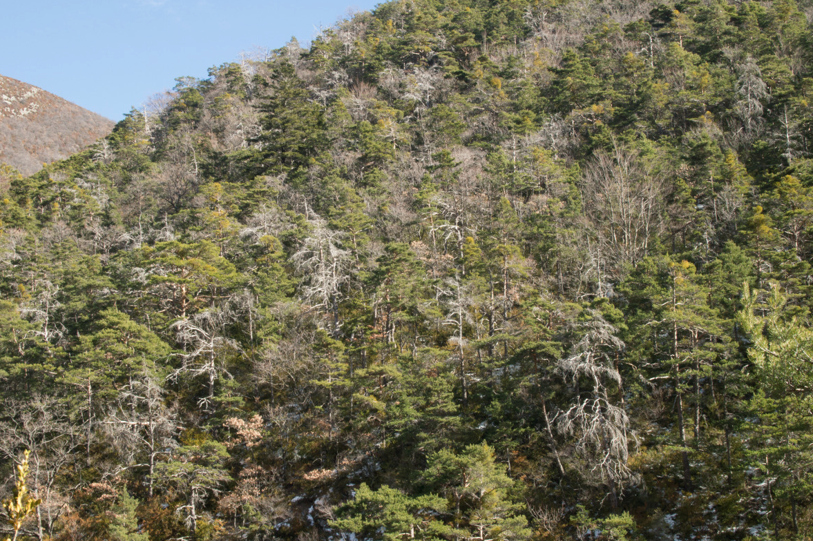
Mediterranean and Alpine forests and climate change in Provence-Alpes-Côte d’Azur — Development methodology for a monitoring map for soil and climate, climate compensation indices, adaptation strategies : the example of pinus sylvestris
PI : Pauline Marty, French Regional Centre for Forest Owners (CRPF) Provence-Alpes-Côte d’Azur
Co-applicants : French National Centre for Forest Owners (CNPF)
Collaboration: French National Research Institute of Science and Technology for Environment and Agriculture (IRSTEA)
___________________________________________________________
Context and Approach —
Studies conducted by Météo-France on climate change over the last 50 years reveal that the Provence-Alpes-Côte d’Azur is the area the most affected by climate changes. (Gibelin A., Météo France, 2015). It is also one of the regions where the most dieback has been recorded over recent decades (Goudard 2012). Pinus sylvestris and quercus pubescens are the most widespread species in the PACA region. Pinus sylvestris in particular was significantly impacted by the repeated droughts during the 2000s (A. Thabeet, 2008 Lelou D., 2010, Thauvin G. 2011). The stakes for the wood sector (biomass) are high, not to mention effects on biodiversity, multi-functionality and conditions conducive to forest fires. This project aims to develop a tool for direct use by forest owners and land managers to enable them to accurately gauge levels of vigilance required to effectively respond to climate change.
It is divided into two complementary components. The first phase focuses on developing a climate change vigilance map in raster format (for GIS, free), following the Bioclimsol method (Lemaire, 2014). This method will be complemented by the Climate Index (CCI) climate compensation method, which considers compensation factors from geomorphology and hydrology indices (Vennetier M., 2001, 2003, 2007 2010) and field data related to soil. Soil and climate vigilance maps will be produced as a result. Projected data of future climate conditions will be integrated into the METEOFRANCE DRIAS portal (medium-term risk for 2040-2070, and long-term for 2071-2100). A second phase will involve direct consultations with forest managers to identify required levels of vigilance and appropriate adaptation strategies to respond to climate change.


